www.naiaraaldamiz.com
naiara.aldamiz@aparelladora.cat
Tel. +34 623 929 697
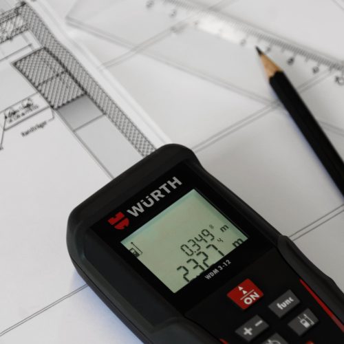
In the studio we offer topographic surveys, current state surveys and work re-staking adapted to each project. Using modern techniques and high-precision instrumentation, we obtain reliable data that ensures the correct execution of the work and safety on the site.
We work throughout Girona, Figueres, Alt and Baix Empordà, Roses, Olot, Banyoles, Blanes, Palamós, Platja d’Aro and nearby municipalities
MAIN TYPES OF WORK
Topographic survey
Detailed measurement of the land or existing building to obtain precise plans of contour lines, boundaries, services or built volumes.
Includes:
Current status survey
Graphic and three-dimensional documentation of existing buildings or spaces for renovations, extensions or legalizations.
Includes:
Re-planning of work
Transfer of project data to the ground to execute it accurately.
Includes:
A topographic survey is used to measure and represent the current state of a plot of land or building, while a stakeout transfers the project data to the ground to execute the work with precision.
We work with theodolites, optical levels, 3D laser scanners and photogrammetry. These tools allow us to obtain digital models and plans with maximum precision.
We work with theodolites, optical levels, 3D laser scanners and photogrammetry. These tools allow us to obtain digital models and plans with maximum precision.
Yes. They must be prepared and signed by competent technicians (technical architects, engineers or surveyors) and meet the requirements established by public administrations and the cadastre.
Through periodic controls and validations, comparing results with reference points and applying quality protocols in all phases of measurement and data transfe
No, although we have a studio in Figueres, we offer services in Girona city and the counties of Gironès, Alt and Baix Empordà, as well as in Roses, Banyoles, Olot, Blanes, Palamós, Platja d’Aro and nearby municipalities.